About
OCR-D Phase III The OCR-D-project Get in touch! Blog Publications and Presentations Module Projects Data Initial tests User Survey Imprint
Developers
Ground Truth Guidelines PAGE-XML format documentation OCR-D development best practices Specifications OCR-D/core API Documentation
Users
Setup Guide User Guide Workflows Models Glossary
FAQ
  de  
Maps
Richtlinien zur Transkription für Ground Truth Transcription Guidelines for Ground Truth
OCR-D: DFG-funded Initiative for Optical Character Recognition Development

  • The Ground-Truth-Guidelines
  • Conventions for these Guidelines
  • Transcription
    • Level 1
    • Level 2
    • Level 3
    • Fundamentals of the Transcription
    • Spellings and Symbols
    • Numbers
    • Tables
    • Maps
    • Handwritten annotations
    • Punctuation Basic Rules
    • Overviews and Examples
  • Layout and Structure
  • Documentation of the OCR-D Structure Ground Truth
  • Documentation of the PAGE XML Format for Page Content
  • Page XML Extensions
  • Imprint

Maps

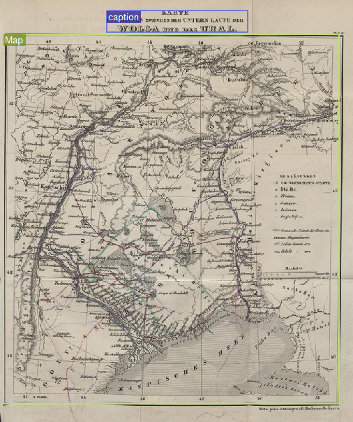
A MapRegion is used to label a map.

Figure 1. Example for MapRegion
Parent topic: Guidelines for the Ground Truth Transcription
Published by OCR-D.

The guidelines for Ground Truth transcription are based on the OCR-D specs v3.4.0

DFG logo
GitHub | gitter | Wiki | Docker Hub | Technology Watch | sitemap.xml